3D Models and Digital Twins
Transform complex utility and infrastructure data into accurate, defensible 3D models that support better planning, design coordination, risk management, and decision-making.

Kiwa’s deep geotechnical and geophysical experience, delivered by Kiwa T2 professionals, provide clients with scientifically robust foundational data to support successful project construction. Geophysical techniques complement traditional methods of underground utility investigation and allow the targeted use of non-invasive technologies to image subsurface conditions through measuring, analyzing and interpreting physical properties. Our skilled teams offer advanced geophysics to collect reliable data for use in infrastructure planning, archaeological, and environmental uses. We apply our experience and knowledge to recommend the right methods to deliver clear, actionable data that reduces uncertainty.
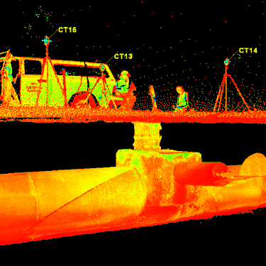
Advanced geospatial surveying and mapping services begin with site-specific data collection by highly trained and technically outfitted field technicians following rigorous data collection and Quality Assurance procedures. The data flows through processing and analysis. Professional judgment, knowledge of local jurisdictional requirements, insights are added to prepare reliable deliverables.
We produce deliverables compatible with:
This comprehensive approach ensures accurate mapping of utilities, ground conditions, and surface features—reducing uncertainty and improving project outcomes.
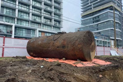
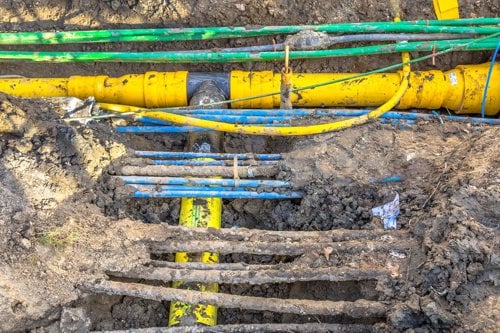
Underground utilities, buried infrastructure, and subsurface anomalies are among the most significant risks affecting modern construction and transportation projects. Inaccurate or outdated records can lead to structural and construction issues, design conflicts, utility strikes, schedule delays, and safety incidents. High-quality geospatial and geophysics data supports better decisions and more predictable constructability.
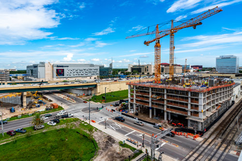
Whether planning a major capital project, roadway expansion, utility relocation, or facility upgrade, our teams deliver the subsurface clarity needed to move forward with confidence.
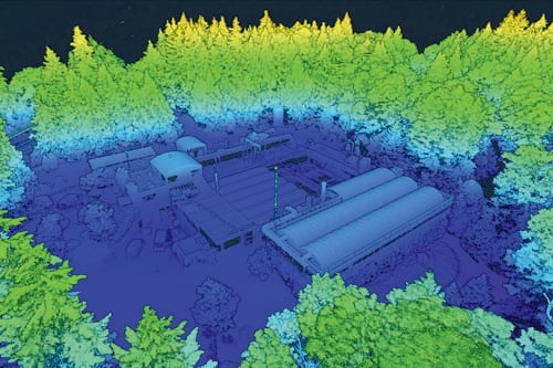
Kiwa T2 applies multi-technology geophysical investigations and digital data integration to create accurate, usable information for designers and planners. We provide outputs that are compatible with CAD, GIS, BIM, and other engineering platforms, helping stakeholders visualize conditions in three dimensions and coordinate more effectively.
Industries served include:
Fill out our contact form and get in contact with our sales assistance department.
Knowledge of the construction materials and standard processes comes first. The right technology, calibrated and maintained equipment, and technician training come together to select the right piece of equipment based on the situation. Kiwa T2 has well-equipped technicians who use a wide variety of methods, including GPR, electromagnetic locating, magnetometry, and many others.
Yes. GIS, CAD, BIM, and 3D models are available.
