3D Models and Digital Twins
Transform complex utility and infrastructure data into accurate, defensible 3D models that support better planning, design coordination, risk management, and decision-making.

Kiwa T2 offers a full spectrum of utility investigation services. Our professionals review the requirements and site conditions that are unique to each project and recommend an approach to meet the needs of the project team.
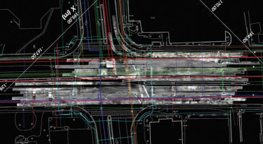
Unknown or inaccurately mapped utilities can trigger safety incidents, service outages, costly redesign, change orders, claims and schedule delays during project construction. By providing reliable, decision‑ready utility information early in design —through either SUE or modified investigations— Kiwa T2 reduces uncertainty and utility-related risks, improves constructability, streamlines permitting, and helps keep projects on time and on budget.
Fill out our contact form and get in contact with our sales assistance department.
SUE is an engineering practice for investigating, identifying, characterizing, documenting; and determining impacts and analysis for existing utilities that may affect infrastructure projects. When performed in accordance with ASCE 38‑22, SUE specifies processes, documentation, and resulting Quality Levels (A–D) and requires deliverables to be signed and sealed by a licensed professional according to jurisdictional requirements.
In a modified utility investigation, specific methods are selected based on site and client project requirements, without invoking the fully comprehensive ASCE 38‑22 scope. T2 clearly documents the results found under the defined scope, but does not sign or seal deliverables.
Both approaches provide utility information which allows clients to make informed decisions. Data and insights from T2 reduce the likelihood of utility strikes, service disruptions, redesigns, change orders, and delays. ASCE 38 is typically used for congested corridors, large complex projects, or where owner certainty and risk mitigation standards mandate it; modified investigations are frequently used to efficiently answer specific questions or support specific design plans.
The ASCE Quality levels actually represent the degree of certainty of the data found in each specific segment. The Quality levels are specific to following ASCE 38 Standard. They have specific requirements and build upon each other, moving from least certain (QLD) to most certain (QLA). Many SUE investigations target Quality Level B, with use of QLA in specific, selected locations. Deliverables provide detail on each utility segment along with notes, all signed/sealed by the professional in charge.
• QL‑D: Records/One‑Call information (lowest certainty).
• QL‑C: Records + topographic survey of visible utility features.
• QL‑B: Geophysical designating to determine horizontal positions, surveyed to control.
• QL‑A: Vacuum excavation to determine precise horizontal and vertical positions at points of interest (highest certainty).
Note: Modified utility investigations should not use Quality Level language.
Use of surface geophysics to infer utility presence and approximate horizontal position. Within ASCE 38 investigation, this information (supports QL‑B when surveyed to control.
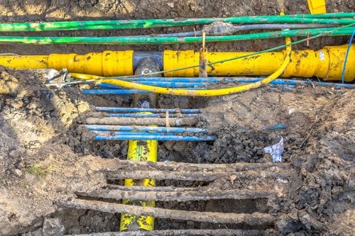
Vacuum excavation to physically expose utilities at discrete points and measure precise horizontal and vertical positions and attributes. Within ASCE 38 specific requirements are used to define Quality Level A QLA.
ASCE developed the As Built Records Standard ASCE 75 to provide a national framework for survey to be used in utility records drawing to capture and retain data for new underground or overhead utility location data during installation exposure. The intent is to provide precise geospatial attribute data for digital records.
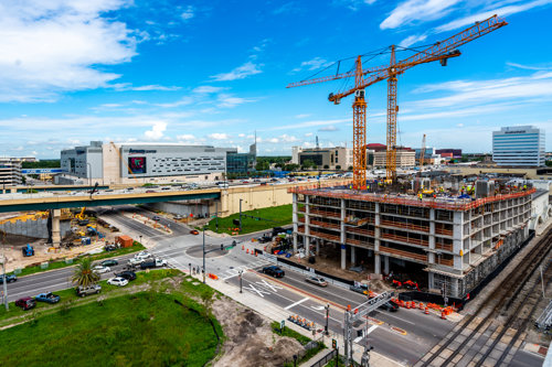
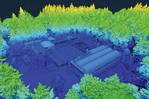
Boundary/ROW, transportation surveys, UAS/drone LiDAR, terrestrial LiDAR, no‑entry confined space capture; deliverables aligned to CAD/BIM/GIS.
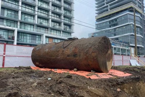
Archaeological geophysics, void detection, buried tank/vault locating, unknown anomaly detection, rail/track bed assessments, concrete scanning.
