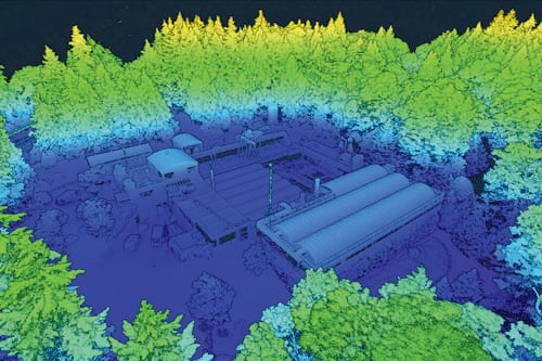
3D Models and Digital Twins
Transform complex utility and infrastructure data into accurate, defensible 3D models that support better planning, design coordination, risk management, and decision-making.

The diverse technologies now available for remote sensing allow us to collect vast amounts of spatial data. But it’s not just about collection, it’s about processing, interpreting, and applying that data effectively. Our team has the technical expertise and cloud computing capacity to manage complex datasets, leveraging big data analytics to extract meaningful insights that drive smarter decisions.
With this geospatial expertise, Kiwa T2 empowers clients to improve efficiency, enhance accuracy, and make informed, confident decisions across a wide range of projects.